Ntrip Base

Overview
Product sourcing insights & recommendations
The high-precision GNSS market is rapidly shifting toward NTRIP (Networked Transport of RTCM via Internet Protocol), which has become the default standard for surveying and autonomous systems by 2026. This technology replaces traditional radio-based corrections with internet streaming, enabling centimeter-level accuracy without the logistical burden of local radio hardware.
Key insights from the report include:
- Market Growth: The global high-precision GNSS market is projected to reach $5.04 billion by 2032, driven by the rise of decentralized community-powered networks and all-band hardware modules.
- Service Evolution: The industry is moving toward "Single Mountpoint" services that automatically optimize corrections for rovers, alongside a "Network Primary, Local Fallback" operational strategy.
- Product Benchmarks: Current professional-grade NTRIP base stations typically offer sub-centimeter horizontal accuracy (~0.8 cm) and support full-constellation tracking (GPS, Galileo, BeiDou, GLONASS).
For a detailed breakdown of hardware specifications, competitive provider comparisons, and 2026 sourcing strategies, please refer to the report below.
I have analyzed the NTRIP base market. You can continue with:
Ntrip Caster Compatible Gnss Reference Station Hardware
Products · 3 lists

NEW SV100 GPS Receiver GNSS Sensor RTK Base Station Reference Station For CORS VRS System Network Ntrip Caster
 Singularxyz Intelligent Technology Ltd.verified🇨🇳CN3 yrs
M00T GPS Receiver GNSS Sensor RTK Base Station Reference Station for CORS VRS System Network Ntrip Caster
 SunNav Technology Co., Ltd.🇨🇳CN1 yr
D30 Rooftop GNSS Reference Receiver for Continuous Monitoring Network NTRIP MQTT IP67 DC 9-36V -40~75
 ZVNAV Technology (Xi'an) Co., Ltd.🇨🇳CN2 yrs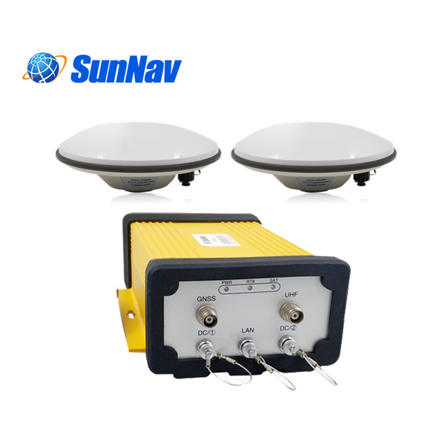
SunNav GNSS RTK M100TT Trimble Board BD982 for Ntrip Cors Station Geodetic Reference Station
 Sunnav Technology Co., Ltd.🇨🇳CN7 yrs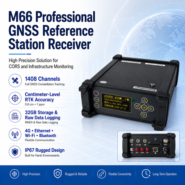
Multi Constellation GNSS RTK Receiver GPS BDS Galileo Full Frequency Base Station for Precision Positioning
 Nanjing PNTMatrix Geospatial Technology Co., Ltd.verified🇨🇳CN1 yr
NTrip Caster GNSS Base Station Seamless Compatibility of CORS System with K10 GNSS RTK
 Chongqing Huibo Lab Instrument Co., Ltd.🇨🇳CN12 yrs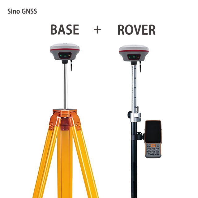
International Version SinoGNSS T10 Plus GNSS RTK Receiver, Permanent Registration Code, Support NTRIP & Free Software Upgrade
 Henan Fukuda Supply Chain Co., Ltd.🇨🇳CN1 yr
Wholesale Toptech TK300 NTRIP CORS GPS RTK Receiver Complete GNSS RTK Base Rover Set Customized OEM Support IMU Survey Equipment
 Toptech Intelligent Technology Co., Ltd.🇨🇳CN1 yr
GS18 T GNSS RTK Rover with Tilt Compensation with Smart Antenna GPS/GNSS Receiver All-in-one GNSS Station Surveying Instrument
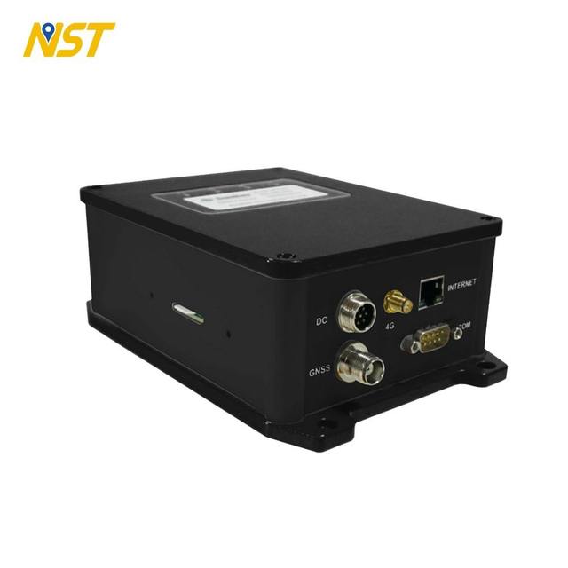
Factory Direct NST M30 GNSS Network Reference Station Receiver Precision Agriculture Accurate Positioning Equipment
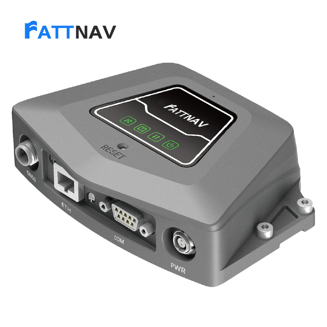
GNSS Reference Station Receiver FATTNAV NET10
 Shanghai Fattnav Information Technology Co., Ltd.🇨🇳CN1 yr
EFIX EBase GNSS Reference Base Station, 1608 Tracking Channels Centimeter-Accuracy DGPS Survey Equipment
 Hangzhou Hongzhuoda Trading Co., Ltd.🇨🇳CN1 yr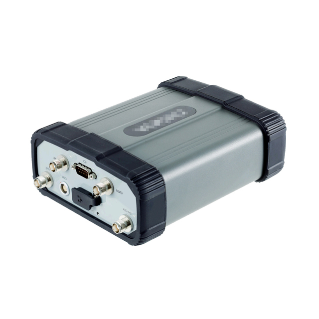
ZYSY P5 1408-Channel GNSS Geodetic Reference Station High Precision Horizontal 8mm IP67 Waterproof Deformation Monitoring SIM

Qianxun Spatix IStation N1 Pro RTK Reference Station with 4G Ethernet and Fiber Connectivity Made in China
 Qianxun Spatial Intelligence Inc.verified🇨🇳CN1 yr
GPS-22429 GNSS / GPS Development Tools SparkFun RTK Reference Station

Trimble Alloy 1 GNSS Receiver 3mm+0.1ppm IP68 Rugged CORS Reference Station Made in US Trimble Geospatial
 Chongqing Ruiot Technology Co., Ltd.🇨🇳CN2 yrs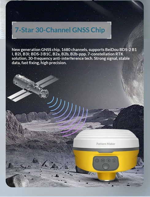
BD5-L RTK Base Radio Station of GPS Receiver for Land Surveying Point Pile Visual GNSS
 Guangxi Xingyuan Location Service Co., Ltd.🇨🇳CN2 yrs
GEOFIX RTK C909 AR Guidance GNSS RECEIVER
 Yiwu Zhi An E-Commerce Firm🇨🇳CN3 yrs
For N3/N5/T300/T10Plus/A10PLUS GNSS RTK Survey Equipment with IMU Laser IP68 International Version Multi-Satellite Support
 Henan Geo Technology Co., Ltd.verified🇨🇳CN1 yr
G6 GNSS RTK Base Station with UM980 High Precision Positioning 3-5km Radio IP68 Waterproof Multi-Frequency 4G/WiFi/Bluetooth
 Tianjin Changkun Technology Co., Ltd.verified🇨🇳CN2 yrs
Cost-Effective NMP N9 GNSS RTK Receiver for Professional Land Surveyor Measuring Equipment
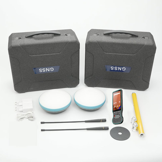
Cheap Rtk Gps X7 Survey GNSS Receiver Hi Target V200 South G3 GNSS RTK GPS Base and Rover International Version for Topographic
 Chengdu Kanyun Precision Measurement Technology Co., Ltd.🇨🇳CN4 yrs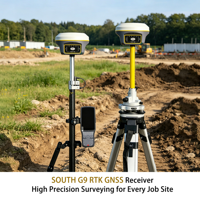
Cheapest Price South G9 GNSS RTK with Post Processing Software Land Surveying Base and Rover South Brand Rtk Gnss Gps Receiver
 Shangrao Haodi Imp & Exp Trading Co., Ltd.verified🇨🇳CN9 yrs
Factory Price Custom GNSS RTK Receiver High Precision GNSS Surveying Equipment OEM ODM Full Customization
 Henan Dayu Import And Export Co., Ltd.verified🇨🇳CN2 yrs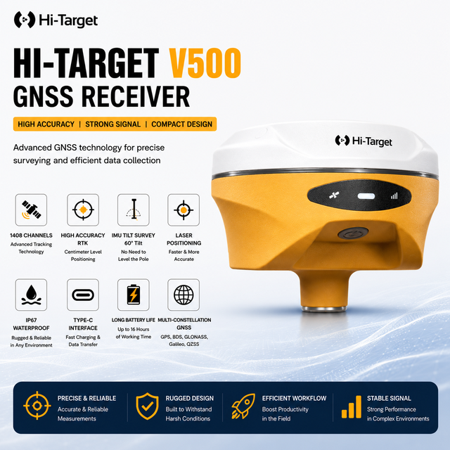
High Precision GNSS RTK Survey Equipment, Base & Rover Station, Absolute Encoding GPS Receiver for Engineering Mapping
 Shanghai Hexin Survey Instrument Company Ltd.🇨🇳CN13 yrs
Deep Dive · Full Report
Full Market Report
1 document · Live-fetched from source
Related Searches
Explore more sourcing topics & related categories
Sources & References
27 sources cited · Verified industry data & reports
NTRIP-X basestation – GNS Electronics GmbH
www.gns-electronics.de
The solution is a perfect choice for demanding high-precision navigation and positioning use-cases like precision agriculture, unmanned aerial vehicles (UAV) and robotic lawn mowers. NTRIP-X® is compatible with RTK rovers supporting RTCM or NTRIP. Additionally NTRIP-X® is plug&play compatible with community-powered GNSS reference station networks like onocoy.
What Is NTRIP and How Does It Work?
www.swiftnav.com
In this article, we delve into the critical aspects of NTRIP, including its role in GNSS correction delivery and how the technology itself works. We also highlight the advantages and challenges of using NTRIP, discuss its common applications, and provide a step-by-step guide on connecting to a NTRIP service. Network Transport of RTCM via Internet Protocol (NTRIP) is a widely used GNSS technology for delivering real-time corrections over the internet. ... Precision: Helps improve GNSS accuracy from meters to centimeters. Convenience: Eliminates line-of-sight requirements and maintenance of base stations. Corrections are computed at the base station (traditional RTK) or in the cloud (e.g., Skylark). Corrections are streamed via an NTRIP caster to rovers using the internet. Users need credentials, a compatible GNSS receiver, and an NTRIP client. Swift Navigation’s Skylark™ Precise Positioning Service exemplifies how NTRIP is harnessed to provide instantaneous, highly accurate positioning data – elevating GNSS capabilities to meet modern precision demands. NTRIP bridges the gap between GNSS base stations and receivers (often called a rover) by enabling the transfer of correction data.
NTRIP vs. Traditional Base Station RTK: What’s the Difference?
www.robota.us
Extra field labor: Requires setup, leveling, power management, and monitoring. Radio interference: UHF/VHF links can suffer from obstacles or noise. Single baseline dependency: If accuracy goes down, operations don’t stop · For teams working on isolated sites or in areas with poor connectivity, a traditional base station remains a solid choice. But if you’re operating across multiple locations or want to reduce field complexity, there’s a modern alternative. What Is NTRIP and How Does It Enable RTK Over the Internet? Your RTK receiver (e.g., RoboDot Touch) connects to an NTRIP caster using Wi-Fi or cellular data. The caster streams correction data from the nearest reference station(s). Your device applies corrections in real time, achieving high accuracy, often better than standalone base-rover setups. This method is especially powerful when combined with VRS (Virtual Reference Station) technology, which models atmospheric errors across a region and generates a “virtual” base near your location for improved accuracy. You value speed and simplicity Reduce field time, minimize equipment load, and eliminate radio pairing issues, all with a stable internet connection. In fact, many state DOTs and regional survey authorities now operate public or private CORS networks that support NTRIP. By subscribing to these services or partnering with providers like Robota, you gain instant access to infrastructure that would be impossible to replicate on your own. Do You Still Need a Base Station If You Have NTRIP? A local base station with radio transmission is still your best bet. Working in sensitive environments? Some government or military sites restrict internet-connected devices. Need absolute control over coordinates? Establishing your own base allows you to tie into local benchmarks precisely. That said, many professionals now use a hybrid approach: Use NTRIP for everyday tasks and rapid deployments.
NTRIP Base Station - RACELOGIC Support Centre
en.racelogic.support
By supporting both MSM4 and MSM7 RTK message streams, it delivers reliable, real-time data for demanding GNSS applications in automotive testing, surveying, mapping, and more. There are 3 variants available of the NTRIP Base Station: ... This is the Quick Start Guide for NTRIP Base Stations (RLVBNBS). This page contains the available user documentation for Racelogic NTRIP Base Stations.
RTK corrections explained: from base station to NTRIP service - ...
blog.emlid.com
A base station is a static GNSS receiver that transmits both GNSS data from the satellites and its own position (correction data or corrections). A communication link connects the base station and rover, typically via radio or the internet using NTRIP (Networked Transport of RTCM via Internet Protocol). This is possible via an NTRIP service, where you receive corrections from the nearest third-party base. Let’s explore both setups and see which works best for your project. Using a local base station is a reliable method in areas with limited internet access. If you don’t need to tie your coordinates to a real geographical position, for example, when measuring a distance or building a track for a tractor, placing the base over a known point is not required. Initialization and transmission. The base station starts receiving satellite signals and transmitting them together with its own position. It can deliver data to the rover via radio or, in case you have Internet, over NTRIP, using an NTRIP caster. NTRIP service allows you to “rent” the nearest third-party base so you don’t need your own base station. To provide real-time correction data, an NTRIP service requires three components: NTRIP client: typically, this is a GNSS rover connected to the internet.
Overview - NTRIP Base Station - Racelogic Support Centre
racelogic.support
This page contains the release notes for the NTRIP Base Station firmware. ... We use cookies to ensure the Support Centre functions correctly and to understand how it is used so we can improve it. This page contains the available user documentation for Racelogic NTRIP Base Stations. Experience centimetre-level accuracy with the Racelogic NTRIP Base station, a high-performance, quad-constellation, dual-frequency solution designed for ultimate positioning precision. With built-in cellular and Wi-Fi connectivity, this advanced base station can seamlessly connect to NTRIP service providers, giving you the ability to establish your own personal NTRIP correction service. Inbuilt Cellular and Wi-Fi modems to allow the broadcast of corrections via NTRIP.