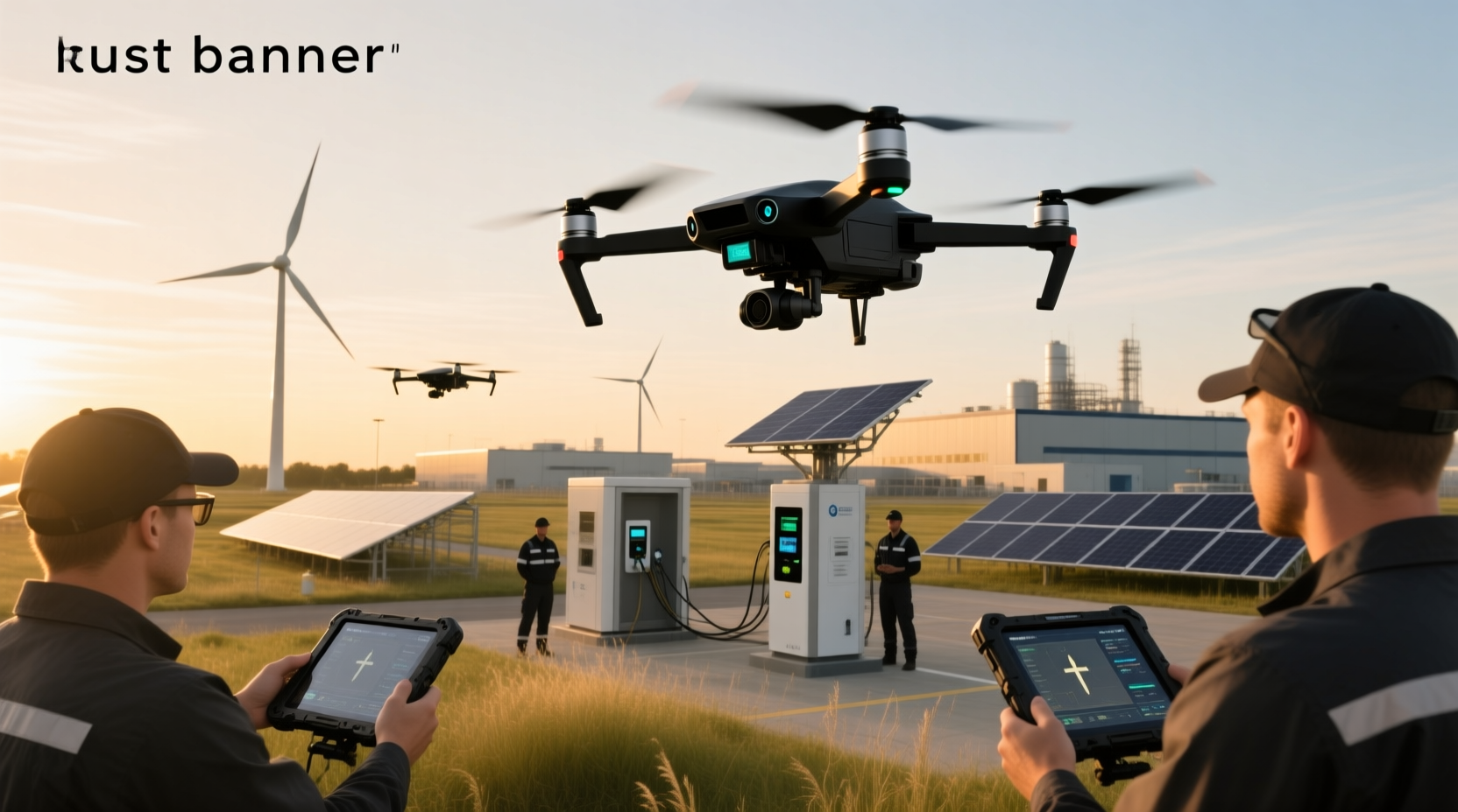
Unmanned aerial vehicles (UAVs)—also known as uncrewed aerial vehicles or aerial drones—are aircraft without an onboard human pilot, operating via remote control, preprogrammed flight paths, or AI-driven autonomy1. Unlike consumer-grade 'drones,' UAVs are defined by formal system architecture: they form part of a broader Unmanned Aircraft System (UAS), which includes the airframe, ground control station, communication links, payload sensors, and data processing infrastructure2. This distinction matters most when evaluating regulatory compliance, operational safety margins, endurance limits, and mission-critical reliability—especially in commercial surveying, precision agriculture, infrastructure inspection, and defense reconnaissance3.
Why Understanding UAVs Matters Today
More than 9 million search results for unmanned aerial vehicles UAVs reflect rapidly expanding adoption—but also widespread confusion. Users often conflate hobbyist quadcopters with certified Class 2/3 UAS platforms used by utility companies to inspect 500-kV transmission lines4, or mistake military-grade loitering munitions for civilian mapping tools. That ambiguity leads to misaligned expectations: purchasing a $1,200 'prosumer drone' expecting 2-hour flight time over farmland (impractical without VTOL and redundant GNSS), or assuming FAA Part 107 certification covers BVLOS operations in controlled airspace (it does not without specific waivers). Clarifying terminology, technical boundaries, and use-case alignment isn’t academic—it prevents costly downtime, regulatory penalties, and safety incidents.
UAV vs. Drone: Terminology Isn’t Just Semantic
The word drone entered common usage through media coverage of military remotely piloted vehicles (RPVs) in the early 2000s. It’s now the default term for any small, multirotor, camera-equipped flying device sold at electronics retailers. UAV, however, remains the standardized technical designation across aviation authorities (ICAO Annex 2), defense procurement documents (e.g., U.S. DoD Directive 3000.09), and ISO/IEC standards for unmanned systems interoperability5. Key differentiators:
- Regulatory framing: The FAA, EASA, and Transport Canada classify platforms by weight, speed, operational altitude, and risk profile—not marketing labels. A 25 kg fixed-wing UAV conducting pipeline surveillance under BVLOS rules falls under UAS regulations; a 249 g ‘drone’ flown recreationally indoors does not6.
- System integration: True UAVs require certified command-and-control (C2) datalinks (e.g., L-band or encrypted Ku-band), fail-safe return-to-home protocols with geofence-aware navigation, and payload interfaces compliant with STANAG 4586 or NATO Interoperability Standards7. Consumer drones typically rely on unlicensed 2.4/5.8 GHz Wi-Fi links with no redundancy.
- Operational accountability: UAV operators must hold validated remote pilot certificates, file flight plans for controlled airspace, and maintain logs meeting ICAO Annex 6 requirements. ‘Drone’ users rarely face such obligations unless operating commercially above local thresholds.
Core UAV Architectures: Fixed-Wing, Rotary-Wing & Hybrid
UAV design directly dictates mission suitability—not just performance specs. Selection hinges on trade-offs between endurance, maneuverability, launch/recovery logistics, and payload capacity.
Fixed-Wing UAVs
Resemble conventional aircraft: lift generated by wings, propulsion by propeller or jet. Advantages include high cruise efficiency (up to 16 hours endurance), long-range capability (>1,000 km), and low acoustic signature. Drawbacks: require runway or catapult launch and net/barricade recovery; cannot hover or perform low-speed inspections. Common in border patrol (e.g., RQ-4 Global Hawk), atmospheric research, and large-area agricultural NDVI mapping8. Critical verification step: confirm whether the platform supports autonomous takeoff/landing on unprepared surfaces—most do not without auxiliary systems.
Rotary-Wing (Multirotor) UAVs
Use multiple synchronized rotors for vertical takeoff and landing (VTOL), precise hovering, and omnidirectional movement. Ideal for close-range visual inspection (e.g., wind turbine blade cracks), indoor facility scanning, and emergency response where space is constrained. Limitations include short endurance (typically 20–45 minutes), sensitivity to wind >12 m/s, and battery thermal management challenges in sustained operation9. Note: Not all ‘quadcopters’ qualify as UAVs—only those integrated into a certified UAS with documented airworthiness, C2 security, and maintenance traceability.
Hybrid & VTOL UAVs
Combine fixed-wing efficiency with rotary-wing flexibility: vertical lift-off followed by wing-borne cruise. Examples include the WingtraOne (tilt-rotor) and Quantum Systems Trinity F90+ (tail-sitter). These address the ‘last-mile gap’—enabling long-endurance regional surveys without runway dependency. However, hybrid complexity increases failure points: tilt mechanisms, dual-propulsion switching logic, and higher unit cost ($35,000–$120,000). Verify firmware update frequency and third-party validation of transition-phase stability—many early-generation hybrids exhibited yaw instability during mode switching10.
Real-World Applications: Beyond Aerial Photography
While social media emphasizes cinematic footage, professional UAV deployment centers on verifiable ROI and measurable data fidelity.
Agriculture
UAVs equipped with multispectral sensors (e.g., MicaSense RedEdge-MX) generate normalized difference vegetation index (NDVI) maps at 5 cm/pixel GSD. This enables variable-rate application of nitrogen fertilizer—reducing input costs by 12–18% while increasing yield consistency11. Crucially, accuracy depends on radiometric calibration, consistent sun angle, and ground control point (GCP) density—not just camera resolution. Platforms lacking calibrated spectral bands or RTK/PPK GNSS produce misleading biomass estimates.
Infrastructure Inspection
Electric utilities deploy UAVs with LiDAR and thermal cameras to detect corona discharge on insulators and hotspots in transformer banks. A 2023 EPRI study found UAV-based thermography reduced manual tower climbing by 73%, but emphasized that detection reliability requires ≥640×512 thermal resolution, emissivity correction, and cross-referencing with load data12. Lower-spec ‘inspection drones’ often miss sub-2°C anomalies critical for predictive maintenance.
Public Safety & Environmental Monitoring
Fire departments use UAVs with FLIR Boson cores and gas sensors (e.g., CO, CH₄) to map fire fronts and identify hazardous material leaks. But effective deployment demands real-time telemetry integration with incident command software (e.g., FirstForward or DroneDeploy Emergency Response), not just video streaming. Without secure, low-latency data routing (<200 ms end-to-end), situational awareness degrades faster than conditions change13.
Key Technical Constraints You Must Verify
Marketing materials rarely disclose hard limits. Always validate these parameters against independent test reports—not vendor white papers:
- Endurance vs. payload: Battery life drops nonlinearly with added weight. A UAV rated for 60 minutes at 1.2 kg may deliver only 32 minutes carrying a 2.5 kg hyperspectral imager. Request test logs showing flight time at your exact payload configuration.
- GNSS resilience: Civilian GPS is vulnerable to jamming and spoofing. For operations near ports, military bases, or contested infrastructure, confirm support for multi-constellation (GPS + Galileo + GLONASS + BeiDou) with RTK/PPK and inertial navigation fallback (IMU drift <1.5°/hr).
- Communication range: ‘10 km range’ assumes line-of-sight over flat terrain at 120 m AGL. In urban canyons or forested areas, effective range often shrinks to 1.2–2.5 km. Demand link budget analysis—not just ‘max distance’ claims.
- Environmental rating: IP43 means splash resistance—not dustproof or rainproof. For coastal salt-spray or desert sand operations, require IP54 minimum and verify conformal coating on PCBs.
Regulatory Landscape: No Universal Rules
UAV regulation varies significantly by jurisdiction—and evolves rapidly. As of Q2 2024:
- United States: FAA Part 107 governs civil operations under 55 lbs. BVLOS requires Certificate of Waiver; operations over people mandate ASTM F3322-21 compliance. Remote ID is mandatory for all aircraft >0.25 kg14.
- European Union: EASA UAS Regulation (EU) 2019/947 classifies operations into Open, Specific, and Certified categories. ‘Specific’ category requires operational authorization—even for routine roof inspections15.
- Canada: Transport Canada CAR 901.03 requires Special Flight Operations Certificates (SFOC) for beyond-visual-line-of-sight (BVLOS) flights and flights near aerodromes16.
Crucially: national rules don’t override local ordinances. Cities like Los Angeles and Berlin prohibit UAV flights in public parks regardless of federal permissions. Always check municipal GIS zoning layers for no-fly zones—not just national maps.
Emerging Trends: AI, Swarming & Autonomy
Two developments are reshaping UAV capabilities—but with caveats:
AI-Powered Onboard Processing
Edge AI chips (e.g., NVIDIA Jetson Orin) now enable real-time object classification—detecting power line faults or invasive plant species mid-flight. However, model accuracy depends entirely on training data relevance. An AI trained on Midwest cornfields fails catastrophically on Australian wheat stubble. Require vendor documentation of domain-specific validation datasets and false-positive/negative rates under field conditions17.
Swarm Coordination
Coordinated multi-UAV missions (e.g., search-and-rescue grid coverage) rely on decentralized consensus algorithms (like flocking or auction-based task allocation). But swarm robustness collapses if >15% of units lose comms—making mesh networking essential. Commercial swarm deployments remain rare outside defense R&D; most ‘swarm demos’ use pre-scripted choreography, not adaptive coordination18.
Common Pitfalls to Avoid
- Assuming ‘autonomous’ means ‘unsupervised’: Fully autonomous UAVs (no human-in-the-loop) are prohibited in nearly all civil airspace. What’s marketed as ‘autonomy’ is usually waypoint navigation with manual override—verify human supervisory requirements in the operational concept document.
- Overlooking data sovereignty: Cloud-based mission planning services may store flight logs and imagery on servers outside your legal jurisdiction. For critical infrastructure work, insist on on-premise or sovereign-cloud deployment options.
- Ignoring maintenance traceability: UAVs aren’t disposable. Propeller imbalance, motor bearing wear, and IMU calibration drift degrade accuracy within 30–50 flight hours. Confirm availability of certified maintenance facilities and documented service bulletins—not just ‘user-replaceable parts.’
Frequently Asked Questions (FAQ)
- What’s the difference between a UAV and a UAS? A UAV is the airborne vehicle only. A UAS (Unmanned Aircraft System) includes the UAV plus ground control station, communication links, support equipment, and personnel—per ICAO definitions2.
- Can UAVs fly at night legally? Yes—with proper lighting (anti-collision strobes visible 3 sm), pilot certification for night operations, and adherence to local curfews. FAA Part 107.29 and EASA.UAS.030 explicitly regulate nighttime flight1415.
- Do I need a license to operate a UAV commercially? Yes—in virtually all jurisdictions. In the U.S., FAA Part 107 remote pilot certificate is mandatory. In the EU, operator registration and competency proof (A1/A3 or A2 CofC) are required1415.
- How do UAVs handle GPS-denied environments? Through sensor fusion: inertial measurement units (IMUs), visual odometry (VO), lidar SLAM, and barometric altimeters. Performance varies widely—verify drift metrics (e.g., <5 m position error after 2 mins GPS outage) in vendor test reports19.
- Are military UAVs fundamentally different from civilian ones? Architecturally similar, but differ in hardened communications (MIL-STD-1553B), cyber-resilient firmware, weapon integration pathways, and classified avionics. Civilian platforms lack TEMPEST shielding and anti-jam waveforms20.